Cappadocia: Rock Valleys, Cave Churches, Underground Cities
Cappadocia looks unlikely in photographs and stays unlikely in person: valleys of pale stone cones, cliffs full of doorways, and whole towns dug downwards. It helps to arrive knowing two stories, one about volcanoes and one about the people who cut their homes into what the volcanoes left.
- Which rock churches and underground cities are open on your dates.
- The weather forecast, if a balloon flight or a long valley walk is planned.
- Local rules on photography inside painted churches.
Where it is
Cappadocia is a region of central Anatolia in Turkey, lying largely in the provinces of Nevşehir, Kayseri, Aksaray, Kırşehir, Sivas and Niğde. The part most visitors come for is in Nevşehir Province, around the towns of Göreme, Uçhisar, Ürgüp and Avanos.
Göreme National Park and the Rock Sites of Cappadocia were made a World Heritage site in 1985.
How the rock was made
The story begins with three volcanoes: Mount Erciyes, Mount Hasan and Göllüdağ. Their ancient eruptions covered the region in thick deposits. The ash hardened into a soft rock, and later flows of lava left a harder layer on top.
Wind and water then cut the soft rock away. Where a piece of the hard layer stayed in place, it sheltered the column beneath it, and the result is the fairy chimney: a tall cone or pillar with a darker cap. The park is full of them, along with multi-coloured cliffs, rock towers and pillars.
The same softness that lets rain shape the rock lets people shape it, and that is the second story.
A landscape people carved
Hermits were living in rock-cut cells here by the fourth century, and monastic communities grew from them. From about the middle of the ninth century the rock churches were being richly decorated with coloured wall paintings.
Zelve, between Ürgüp and Avanos, shows how long this way of living lasted. It was a monastic settlement from the ninth to the thirteenth century, cut into three connected valleys, and people went on living in its rock rooms until 1952, when they were moved out because the rock was no longer safe. It became an open-air museum in 1967.
Below ground the scale is larger still. The underground city of Derinkuyu reaches a depth of about 85 metres and was large enough to shelter as many as 20,000 people with their animals and food. It has ventilation shafts, one of them 55 metres deep and also used as a well, and it is linked to another underground city, Kaymaklı, by eight to nine kilometres of tunnel. It was found again in 1963, when a resident who was renovating his house broke through a wall into a hidden room.
In Avanos the material is clay rather than rock. The town stands on the Kızılırmak, the longest river in Turkey, and its potters use the red silt of the river, a craft that probably goes back to Hittite times.
Valleys worth walking
Pigeon Valley runs between Uçhisar and Göreme, a walk of about two hours. Its name comes from the pigeon-houses carved into its sides; the birds' droppings were used as fertiliser on the fields into the 1970s.
At one end of that walk is Uçhisar, whose "castle" is a rock formation about 60 metres high, visible from far around and hollowed out with rooms and passages. It is open to visitors, and the top gives a view across the region.
Further south-west, in Aksaray Province, the Melendiz River has cut the Ihlara Valley: a canyon about 15 kilometres long and up to 150 metres deep, with around fifty rock-cut churches along it, running from the village of Ihlara to Selime.
Seasons
Cappadocia is high, dry country. Summers are hot and dry, winters are cold and snowy, and rain is sparse all year. Snow on the rock cones is one of the classic sights of the region, but it comes with real cold.
Spring and autumn fall between the two extremes and are the comfortable seasons for long walks in the valleys. Hot-air ballooning and trekking are the two activities the region is best known for, and both depend on the weather of the day.
Travel tips that do not change
Wear shoes with grip. Valley paths are dusty, uneven and sometimes steep, and the rock rooms are entered by worn steps.
The underground cities mean low, narrow tunnels and many stairs. If tight spaces trouble you, visit the upper levels only or choose the valleys instead.
Do not touch the wall paintings in the rock churches, and follow the rules on photography where they are posted. The paintings are many centuries old and the rock under them is soft.
Carry water and sun protection in summer and proper cold-weather clothing in winter; the difference between the seasons is large.
Keep one morning free as a spare if a balloon flight matters to you, since flights are cancelled when the weather is not right.
These valleys as a golf course
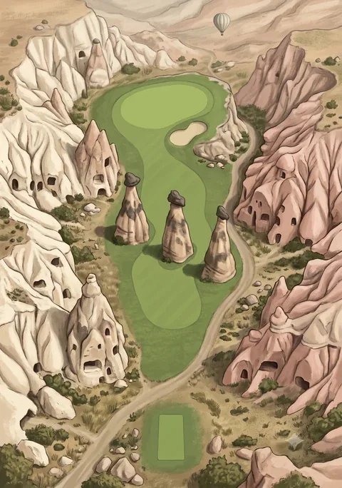
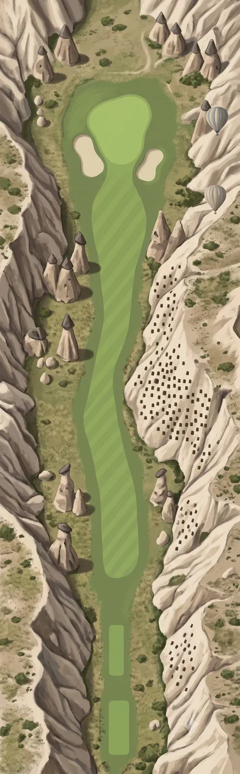
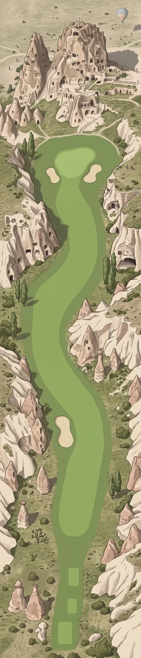
Our browser golf game has a course called Cappadocia. Its eighteen holes run along valley floors between capped rock cones and are named after places in the region. The pictures are imagined scenes, not surveys, but the things in them are the things described above: fairy chimneys, a cliff of pigeon-holes, a rock citadel.