The Philippine Islands: A First Look at 7,641 Islands
The Philippines is not one place to visit but thousands. A trip there is always a choice of islands, and the choice is easier once you know how the country is laid out, what the seasons do, and what each well-known island is actually known for.
- Entry rules and any permits for protected areas (Tubbataha, El Nido, Coron).
- Typhoon bulletins for your dates and islands.
- Whether boats and flights between your chosen islands run on the days you need.
Where it is
The Philippines lies in the western Pacific Ocean. The South China Sea is on its west side, the Philippine Sea on its east, and the Celebes Sea to the south. The country counts about 7,641 islands, and they are usually spoken of in three groups: Luzon in the north, where the capital Manila is; the Visayas in the middle; and Mindanao in the south.
Filipino and English are the official languages, and nineteen regional languages are recognised besides. For a visitor this means that signs, menus and conversations in English are common across the islands.
Islands, reefs and volcanoes
The country sits within the Pacific Ring of Fire, which explains both its volcanoes and its earthquakes. Camiguin, a small island province in the Bohol Sea about ten kilometres off Mindanao, has four stratovolcanoes on it and is called "the Island Born of Fire". Only one of them, Mount Hibok-Hibok, has erupted in recorded history, most recently in 1953.
Much of the rest is limestone and coral. In Bohol the Chocolate Hills cover more than fifty square kilometres: at least 1,260 cone-shaped hills, perhaps over 1,776, made of marine limestone and covered in grass that turns brown in the dry season. In northern Palawan the town of El Nido is the gateway to the Bacuit archipelago, 45 islands and islets with limestone cliffs. Swiftlets nest in those cliffs, and the town was named for them: El Nido means "the nest".
Far out in the Sulu Sea, about 150 kilometres south-east of Puerto Princesa, are the Tubbataha Reefs: two large atolls and the smaller Jessie Beazley Reef. Surveys there have recorded no fewer than 600 species of fish and 360 species of coral, and the park has been a World Heritage site since 1993. The Philippines as a whole is counted among the megadiverse countries of the world.
History you can still see
Ferdinand Magellan reached Cebu in 1521 and was killed that April in the Battle of Mactan, fighting the forces of Datu Lapu-Lapu. In 1565 Miguel López de Legazpi founded the first permanent Spanish settlement in Cebu, and Spanish rule lasted until 1898. The country became independent on 4 July 1946.
Later history lies under water at Coron, in the Calamian islands of northern Palawan. On 24 September 1944 American aircraft attacked Japanese ships anchored there, and about a dozen of the wrecks now rest at depths between 10 and 40 metres. Coron Island itself was recognised in 1998 as an ancestral domain of the Tagbanwa people.
On Camiguin a volcanic period that began in 1871 sank part of the old town of Bonbon, its cemetery included, below sea level. A large cross, put up in 1982, marks the place.
When to go
The year divides into three parts: a cool dry season from November to February, a hot dry season from March to May, and a rainy season from roughly June to October. The average temperature across the country is about 26.6 °C; January is usually the coolest month and May the warmest.
Typhoons matter more than temperature. Around 28 storms and typhoons a year enter the Philippine area, and the most dangerous ones come from July through October. That is why the dry months are the usual choice for island trips.
Some places keep their own calendar. Diving at Tubbataha happens only from about mid-March to mid-June, and only from boats that visitors live aboard, because the reef has no place to stay. Siargao, on the other hand, is at its best for surfing later in the year, from about August to December.
What each island is known for
Boracay, off the island of Panay, is small - about ten square kilometres - and known for White Beach, roughly four kilometres of sand. In 2018 the island was closed to visitors for six months so that it could be cleaned up.
Malapascua, a 2.5-by-1-kilometre island off the northern tip of Cebu, is known among divers for thresher sharks, which come to a shoal near the island around sunrise. Siargao, a teardrop-shaped island facing the Philippine Sea, is the surfing capital of the country, known for a reef wave called Cloud 9; it also has one of the largest mangrove reserves in Mindanao. Guimaras, between Panay and Negros, is called the mango capital of the Philippines.
Bohol has the Chocolate Hills, Palawan has El Nido and Coron, and Cebu, a long narrow island in the middle of the Visayas, is where the Spanish chapter of the country's history began.
Travel tips that do not change
Plan by island group, not by map distance. Two islands that look close may have no direct boat or flight between them, and sea crossings depend on the weather. Leave a spare day before any flight home.
On reefs, do not stand on or touch coral, and do not take shells or sand. Protected areas such as Tubbataha and El Nido have their own rules for visitors; read them before you book.
Some islands and lakes belong to indigenous communities, as Coron Island does. Follow the local rules on where visitors may go.
In the rainy season, check the weather service's typhoon bulletins every day and take a cancelled boat as final.
These islands as a golf course
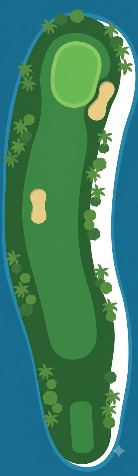
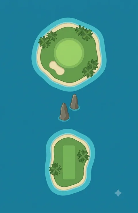
Our browser golf game has a course called Philippine Islands. Each of its eighteen holes is drawn as a small island and named after a real one. The pictures are illustrations, not maps: Boracay is a strip of white sand, El Nido is two rocks in the water, Camiguin is a cone with a crater.